October 26, 2026
Comparing yard and loading-dock layout: reference plant vs. candidate site
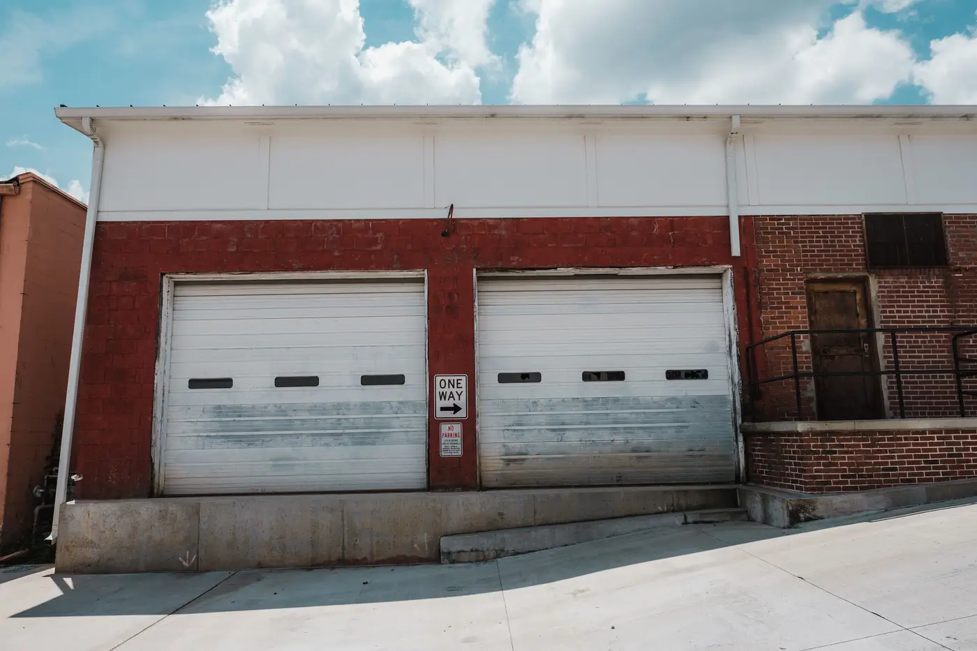
When a sourcing team starts a dual-source project, the RFQ usually asks for square footage, certifications, and capacity. It rarely asks for a site plan. That's a gap, because two plants can match on every number in the RFQ and still handle freight completely differently once a trailer pulls into the yard.
Yard and dock layout is where a lot of second-source qualifications fail, and it tends to show up after the contract is signed, not during the paper review. A candidate plant with the right headcount and the right ISO stamp can still choke on inbound flow if the truck court is too tight to stage trailers, or if the dock doors are spaced for a different pallet pattern than your reference supplier uses. By the time that shows up, you're past the paper review and into a pilot run that's missing ship dates.
What actually needs to line up
Comparing layout between a reference plant and a candidate isn't about matching blueprints exactly. It's about checking the handful of things that determine whether freight moves at a similar pace.
- Dock door count and spacing. A candidate with fewer doors, or doors spaced for different trailer lengths, will queue differently even at the same production volume.
- Apron depth and trailer staging area. This is the space between the building and the yard fence where trailers wait, get spotted, or get dropped for live unload. Too shallow, and congestion backs up onto the access road.
- Truck court shape and turning radius. A straight-in, straight-out yard moves trucks faster than an L-shaped court that forces tight turns, especially for 53-foot trailers.
- Rail spur presence, if the reference plant uses one. A candidate without rail access isn't a drop-in replacement for a supplier that ships by rail, even if everything else matches.
- Distance and road class to the nearest interchange. A plant two miles from a four-lane highway behaves nothing like one that's ten minutes down a two-lane county road with a school zone in the middle.
None of these show up on a spec sheet. They show up on a site plan or an aerial photo, and most sourcing teams don't pull either one until well into the qualification process, if ever.
How teams do this comparison today, and where it breaks down
The usual workaround is some combination of a county GIS portal, a call to the candidate's logistics manager, and a Google Earth window open next to the reference plant's address. That works, barely, for one candidate at a time. It falls apart the moment the project needs five or six candidates compared against the same reference site across a target region, because every county plat site has different data, every supplier gives a different level of detail on the phone, and eyeballing aerial imagery for "does this yard look roughly like ours" doesn't scale past two or three sites before the comparisons start blurring together.
It also tends to happen backward. A sourcing team builds a shortlist from directory listings or trade-fair contacts first, based on product category and certifications, and only pulls up the yard layout after a candidate has already cleared several other screens. If the layout doesn't hold up, that's time spent on a candidate that was never going to be a physical match.
Starting from physical fit instead flips that order: you know the reference plant's yard, its dock count, its rail access. Screening candidates against that footprint first, before anything else, means the ones that reach a phone call already look like a plant that could run the same way.
That's the gap Sourcing Candidate Search is built to close: it searches a target region for sites that physically resemble a reference supplier, plant type, scale, logistics access, and returns a ranked shortlist with the reference site shown next to each match, so the yard and dock comparison happens before the first call instead of after it.
If a dual-source project is sitting on a short list built from directories or trade-show badges, it's worth running the reference plant against the region first and seeing what actually resembles it on the ground.